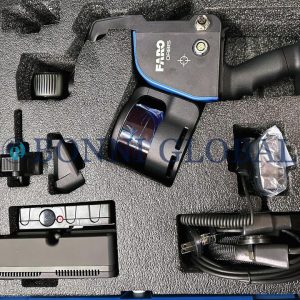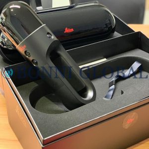
Description
The Stonex XH120 SLAM 3D Laser Scanner represents a cutting-edge advancement in the field of spatial data capture, offering unparalleled precision and efficiency for professionals in various industries. This state-of-the-art device utilizes Simultaneous Localization and Mapping (SLAM) technology, enabling it to create highly accurate 3D models of environments in real-time, regardless of the complexity of the surroundings.
With its lightweight design and user-friendly interface, the Stonex XH120 SLAM 3D Laser Scanner is not only portable but also easy to operate, making it an ideal choice for surveying, construction, and archaeological applications.
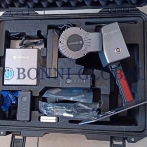
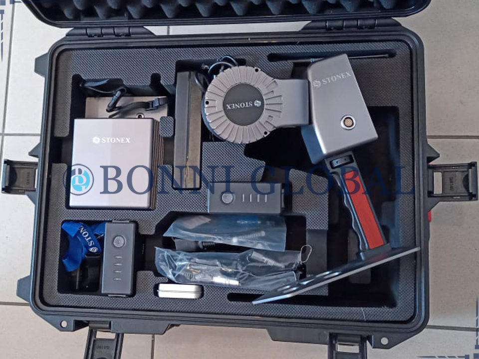
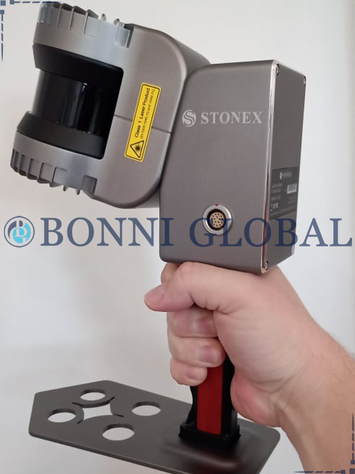
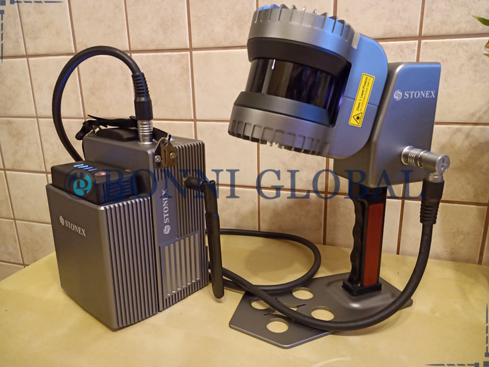
Stonex XH120 SLAM 3D Laser Scanner
Stonex XH120 SLAM 3D technology has the best in class sensors and real time processing: more range, more speed, more resolution, greater field of view, more reliability. Combine indoor & outdoor data, even in the most demanding environments. See your scanning progress in real time and control XH120 with your tablet or smartphone. The new XH120 handheld 3D scanner is available immediately.
Fast & Efficient
XH120 is an handheld laser scanner based on STONEX SLAM technology. This powerful scanner allows easy and fast capture of 3D models indoor & outdoor eliminating the need of collecting tens of scans from various stations and of complex multi-cloud registrations. Just move around the scene with XH120 and see the point cloud growing as more data is added in real time.
Handheld 3D scanner
Just move around the scene with XH120 and see the point cloud growing as more data is added in real time. Boost your productivity reducing on site capturing time and post processing workload. Stonex SLAM technology delivers more range, more points per second and best in class on board processing algorithms to reach unmatched speed of capture and reliability even in the more demanding environments.
Features
- Rapid scanning (655.360 p/s)
- Easy to use – no surveyor skills
- Long range, rotating scan
- Real time 3D point cloud
- Operates indoor and outdoor (doesn’t rely on GPS)
- No need of scan alignment
Applications
- Mining/Underground
- Engineering & Construction
- Architecture & Real Estate
- Automation
- Utilities
- Forestry, Agriculture, Parks
- GIS & Mapping, Facility Management, Inventories
- Law Enforcement
- Education