Description
Get real-time feedback on your data capture with the GeoSLAM ZEB HORIZON 3D Laser Scanner, so you leave site with full confidence. Compatible with most mobile phones, you can see a sample of your point cloud being created as you walk. Lightweight and rugged, Zeb Horizon RT is simple to use, fast to capture and easy to process, so you have the most accurate information you need to make the most important decisions.
With powerful SLAM technology at its heart, the Zeb Horizon RT scans at a rate of 300,000 points per second, with an accuracy of 1-3cm – making it suitable for a vast array of applications. Capture with confidence with the GeoSLAM ZEB HORIZON 3D Laser Scanner by visualising data in real-time. View your scanned data as you walk – for peace of mind before you leave the site.
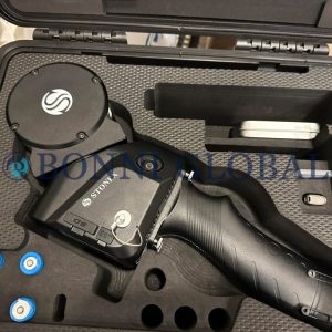
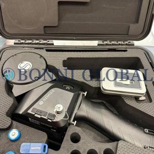
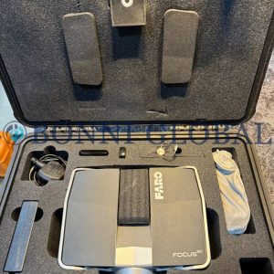
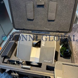
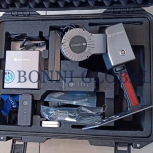
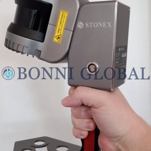
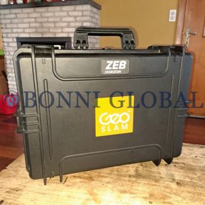
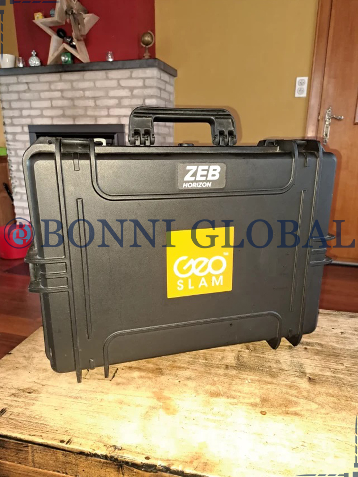
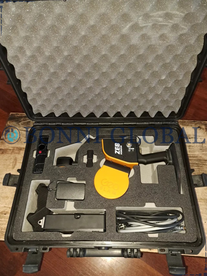
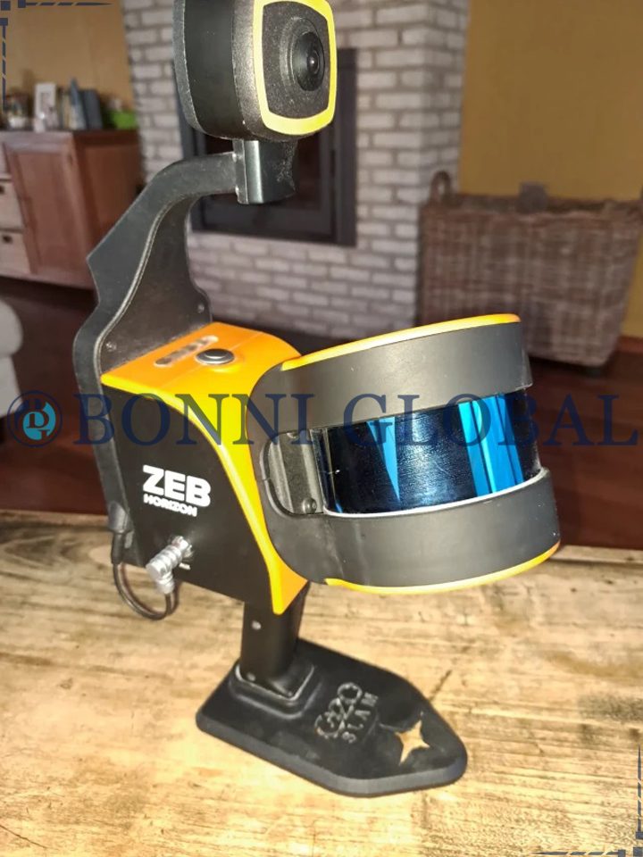
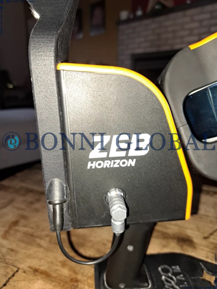
GeoSLAM ZEB HORIZON 3D Laser Scanner
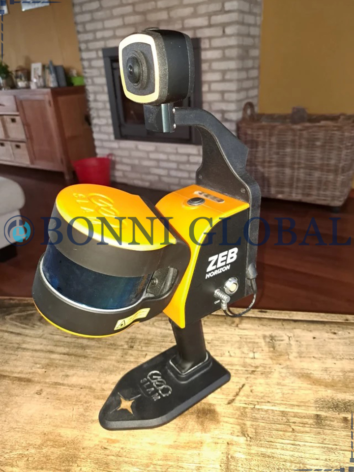
The GeoSLAM ZEB HORIZON 3D Laser a handheld LiDAR scanner, suitable for drone mapping applications as well as indoor use. This powerful tool helps make the mapping process simple. With a range of 100m, the ZEB Horizon is great for outdoor use including spaces where features are positioned further apart.
Specifications and Features
Its lightweight and compact design also make it perfect for indoor surveys. If you want flexibility in your data capture methods, the ZEB Horizon is the solution for you. Here’s the low-down on the ZEB Horizon:
Create a map as you move. Outdoors, indoors or underground. It’s lightweight and compact design makes it simple whether you’re new to digital mapping, or a trained surveyor. With powerful SLAM technology at its heart (we call it GeoSLAM Beam), the ZEB Horizon can be used in areas with poor GPS – such as underground or in forests. Lightweight and rugged, simple to use, fast to capture and easy to process giving you the most accurate information you need to make the most important decisions.
The ZEB Horizon is as flexible as you are. Use handheld or pair with one of our many mounting options. Take your ZEB to the skies by mounting to a UAV or reach those difficult places with the cradle or pole.
Effortless Data Capture
With a range of 100m, the ZEB Horizon is great for outdoor use including spaces where features are positioned further apart. It’s lightweight and compact design also make it perfect for indoor surveys. ZEB Horizon is your tool to capture, process and understand the world around you.
Survey Grade Point Cloud In Minutes
With one button operation, you’ll be up and running fast – capturing survey grade data in minutes. Process a point cloud quickly using the intelligent point cloud processing platform GeoSLAM Connect. GeoSLAM data is compatible with software that works for you with universal file formats (LAZ/LAS/PLY/TXT/e57).